Cautley Spout and The Calf
The classic Howgills day: follow the River Rawthey to England's highest above-ground waterfall, climb beside it and top out on The Calf (676 m), the range's highest point.
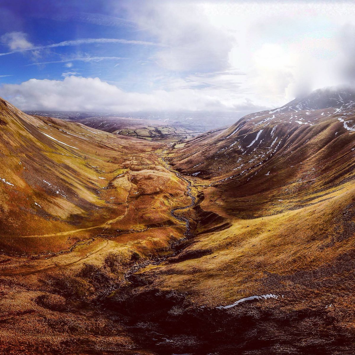
Highlights
- Cautley Spout waterfall
- Summit of The Calf, 676 m
- Open fell-top views across the Howgills
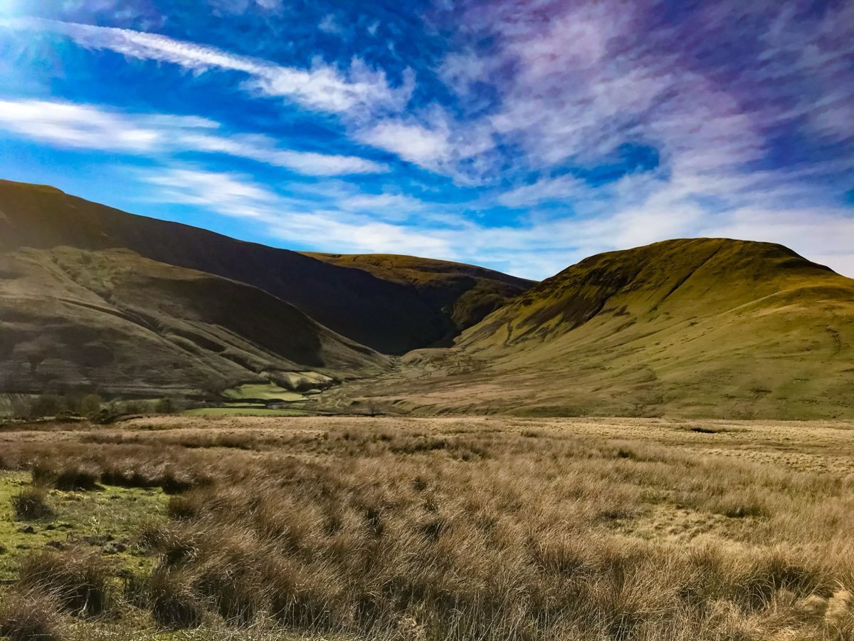
Before you go
- The ascent beside the Spout is steep and stepped; the descent needs great care in any conditions.
- Tops are windier and colder than the town. Carry map, compass, waterproofs and food.
- Not suitable in poor visibility unless you can navigate.
Getting there
Start: Sedbergh (or Cross Keys, Cautley, for a shorter day)
Sedbergh is the start. Cautley is roughly 4 miles out; check bus timetables before relying on them.
Route map and GPX
Download draft GPXDraft line. Auto-generated from OpenStreetMap paths between the key points. It may differ from the walk described and has not been walked or checked. Verify against an OS map before use. Directions to start Open in OpenStreetMap
Map: © OpenStreetMap contributors, SRTM | style © OpenTopoMap. For navigation on the hill use OS Explorer map OL19 and a compass.
Details are compiled from published guides and are approximate. This route has not yet been walked and verified by us.